Here’s some photographs of the property as it is today. It is organised as a small attached cottage, a larger cottage and an unconverted barn. All on a 2 acre plot of land.
From the road. The odd shaped building to the right of the picture is a coal hole. This odd shaped part of the building seems to be fairly original as it appears on even the oldest of the maps that we have found. Take a close look at the 1788 map, particularly where the property adjoins the road. The porch is for the small attached cottage.

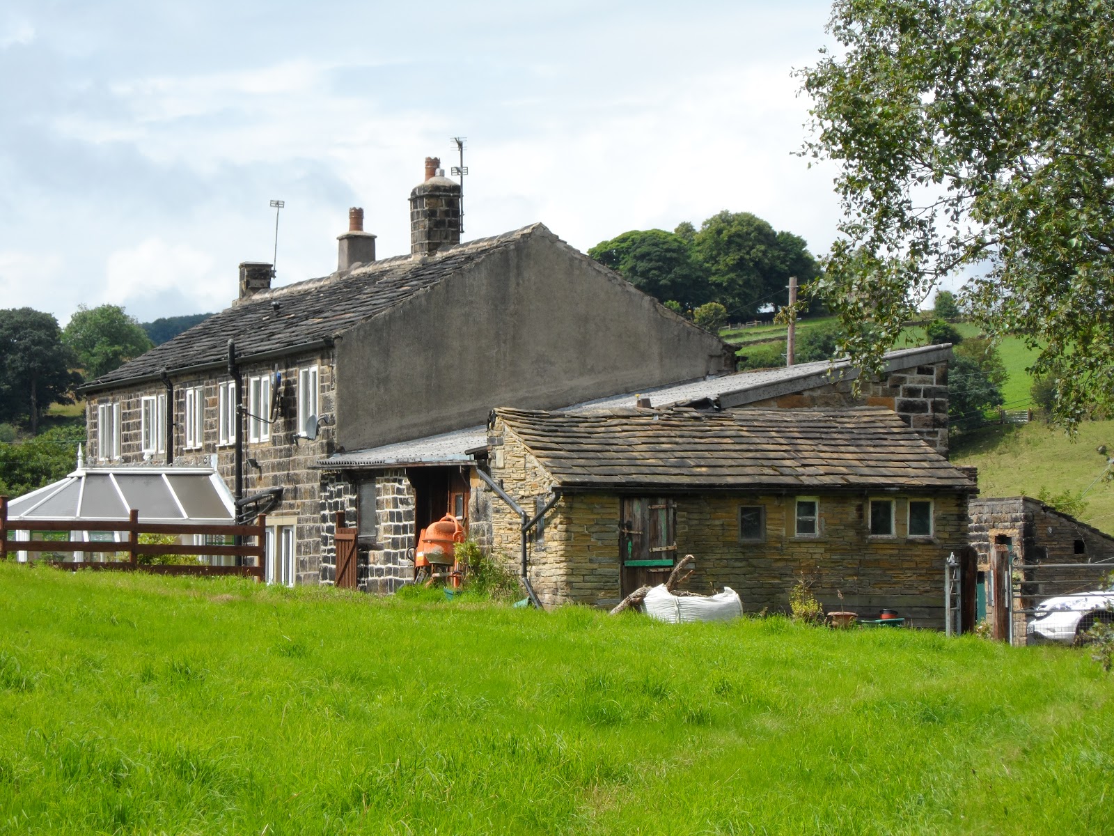
From the back of the property. This is the view from the back of the top field. The unconverted barn is at this end of the property. It has clearly been rebuilt in recent years, but is still unconverted. The lower photograph is the rear of the property, but this time from the bottom field looking up. The odd shaped appendage is the back of the coal hole seen above.


The unconverted barn. This has a sloping roof and has two floor levels inside. The lower floor level is the same level as the ground floor in the adjacent property.
