Category: history

Date stone

I don’t know how I missed this date stone as it was under the plaster when we removed the conversatory.  However, the builder spotted it.  The date relates to when the stone lintel was put in and not when the house was built.

This date is similar to some of the newspapers that we have found stuffed in various crevices.  It has been used to fill gaps when the property had been previously decorated.  The newspapers were dated 1859.  The date stone shows 1861.  There seems to be some letters before the date – it looks like “Pax”.  We have the census records for 1861 that show that John Hobson occupies this property, so I don’t know how this relates to “Pax”.

The date stone is on the lintel to the left of the sliding doors.

The date stone is on the lintel to the left of the sliding doors.

Date stone on the lintel above the opening to the conservatory.  This is not original to the property, but a later addition.

Date stone on the lintel above the opening to the conservatory. This is not original to the property, but a later addition.

Great Grandma’s cherry tree

While we were working down the farm today, a young girl and her boyfriend turned up.  They were probably in the late teens.  Apparently, her grandmother used to live here (in number 10) and her great grandmother lived in number 8.

She said she was passing and wanted to stop-by as her great grandmother’s ashes (and her great grandfather’s) are buried underneath a cherry tree in the orchard.

Yikes!

That’ll be the cherry tree that got damaged when a skip was delivered a few months ago and we had to cut it down (to be fair it wasn’t big).  It also explains the “cement dust” that seemed to be around the base.  Oh no! 

She didn’t seem to be particularly phased by the situation and was pleased to have had the opportunity to stop by.

When we get time, we will plant a new cherry tree in the orchard.

Great grandma's cherry tree

Old beam – Secrets revealed

There are old beams throughout the properties, but all (yes, all) are boxed in.  As such, we couldn’t tell what the beams look like or even the condition of them – it would not be unusual for these beams to suffer from woodworm or even worse.

So we decided to take some of the cladding off in one of the cottages.  The beams aren’t particularly unusual – rough sawn on one side and curved on the other.  Presumably the curved shape is the natural shape of the tree.

The beam had been coated in multiple coats of paint, probably distemper (a paint usually based on lime or chalk). Much of it was flaking and loose.  A slight circular depression in the beam was a hole that had been drilled through the beam – probably 12mm across – that had been stuffed with newspaper and painted over. We pulled the newspaper out and gently attempted to unravel it.  Unfortunately, it was very fragile and most of it disintegrated.  However, we were lucky and we manage to salvage a very small piece with a date – 1858!

Further investigation, revealed a much larger rectangular depression similar to the round one we found above.  This one was a slot that had been cut right through the beam.  Both sides were stuffed with newspaper and painted over.  However, in the middle of slot behind the stuffed newspaper was half a broadsheet from the Leeds Murcury – also dated 1859!


From the census records of 1851 and 1861, we know that David Hobson was living in this property with his family, so we had hazard a guess at who bought the newspaper originally.

Front elevations

Ok, so these are the front elevations – today and in May 1978 before it was converted from three properties into two.  I have included the rear elevations here.

You can quite clearly see where the old front door used to be for number 9 as well as the fact that new windows appear to have been added upstairs (as stated on the old plans).

The old plans were in a bit of a “distressed” state.  To view a larger image, just click on the picture.


Front elevation – today (above) and in 1978 (below)

Rear of the property

Well, we have been struggling to work out what the property used to look like in the past.  And now we know.  At least, what it looked like 34 years ago – in May 1978.  We have the architects drawings when the property was three separate cottages and before they were combined into two. The present owners found the plans when clearing out.

I have scanned in the architects drawings and matched them up with the recent elevations that we had done.  I have combined them in single images so that you can see the differences.  To view a bigger version, just click on the image itself.

Rear elevation: Today (above) and in 1978 (below)

The old drawings show that the ground level at the back of the property used to be just underneath window level at the back. This was reduced when the work was completed. We aren’t show if the conservatory was added at the same time.

Searching in the Deeds Registry

I spent a very frustrating afternoon in the Deeds Registry in Wakefield trying to find out more information about our property.  I had high expectations, but it wasn’t to be.  Last time I did some research on local history, I got a result in 30-40 minutes. But this time, I spent all afternoon and got nowhere.

From the census, I knew that at least one of the properties was occupied by Hobsons from 1851 through to 1911 (which is the last available census).  We had already found the Hobsons gravestone in Honley Cemetery, so I was assuming that they might have owned the property.  But alas no.

I searched all of the deeds registers and there are no entries for David Hobson.  In fact, there are no entries under David Hobson (any David Hobson) in West Yorkshire between 1819 – 1919.  Spooky.  There are lots of entries for Hobsons, but none for David Hobson.  I did find some entries under Joseph Hobson, but none of them were the correct Joseph Hobson (or in the wrong area).

I searched under the names of the other occupants that featured in the Censuses, but again no luck.  So I can only surmise that the occupiers did not own the property, but rented them (don’t forget that they are organise as three separate cottages).

Time to change tack.  In 1910, there was a national land survey conducted to establish who owned each plot of land in the UK.  We quickly found the appropriate map in the archive.  Luckily, the map we were looking for was there – the Archive do not have copies of all of the maps.  The map shows that all the cottages and the land surrounding it is owned by the same person – referenced on the map as “1010”.  Unfortunately, I then ran out of time before I could look up the reference number in the catalogues.

Ho hum.  It will have to wait for another day.  But at least we do know that all the cottages and the surrounding land were owned by a single person in 1910.  It is a start.

PS The staff in the Registry of Deeds are really helpful and sure know their way around.  More information here: http://www.archives.wyjs.org.uk/archives-wakefield.asp.  Check the opening times if you want to visit (it is closed at lunchtimes 1-2pm) and I would suggest making an appointment before visiting.

The Hobson’s gravestone

Found it!  The graveyard was a little overgrown, but this end of the graveyard seemed to have been cleared recently.  The building in the background is not the church, but the chapel mortuary – one of very few to be found in West Yorkshire.  It is boarded up and largely derelict now.

The Hobson’s gravestone is the one to the right of the photograph.  David and Mary Hobson are buried here together with their daughters Ann (Mellor) and Marian, their son Joseph and his wife Mary.

David and Mary lived in the property from at least 1850 through to the deaths in 1882.  Joseph and Marian (their son and daughter), who were both born in the property, lived there until at least 1911 (their latest census records that are publicly available). Joseph died in 1933, Marian in 1899.

Presumably reusing the plot and the gravestone saved on the costs.

Who used to live here…

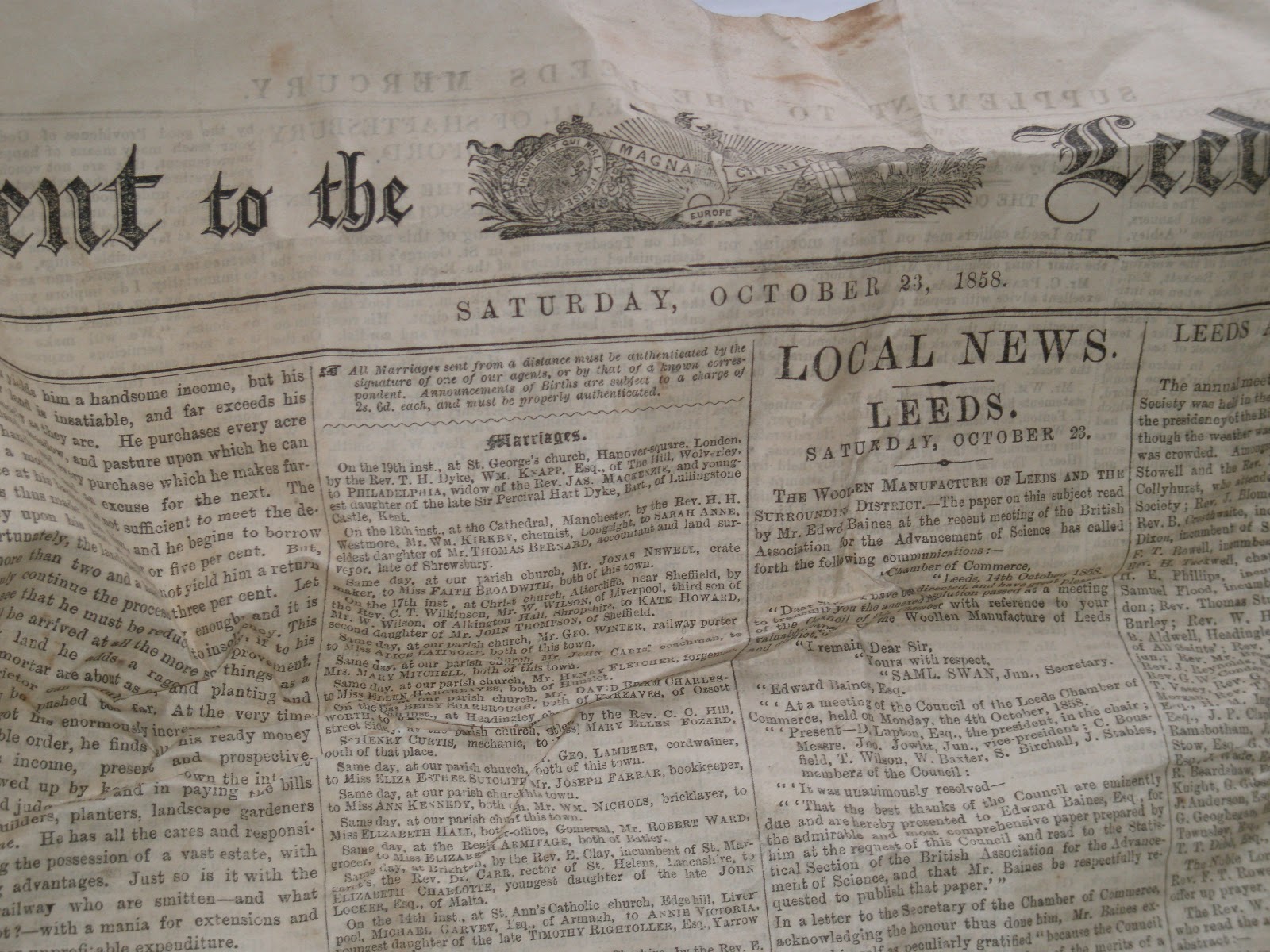
When I first started looking into how long the property was, I spent a little bit of time in the Local History Unit at Huddersfield library.  Quite quickly I established from the 1901 census that the property (10 Hagg Lane as it was referred to then) was occupied by Smith and Mary Littlewood and their three children (Ernest, Wilfred, and Denis) and a step daughter Evelyn Eastwood. Their occupations were listed as Woollen Weaver.

The property next door (9 Hagg Lane) is occupied by a 50 year old farm labourer, named Joseph Hobson. Originally, I used the microfiche in the local library to view this information, but I have subsequently accessed it online.  Although there is a charge, you can access the information from here: www.1901censusonline.com

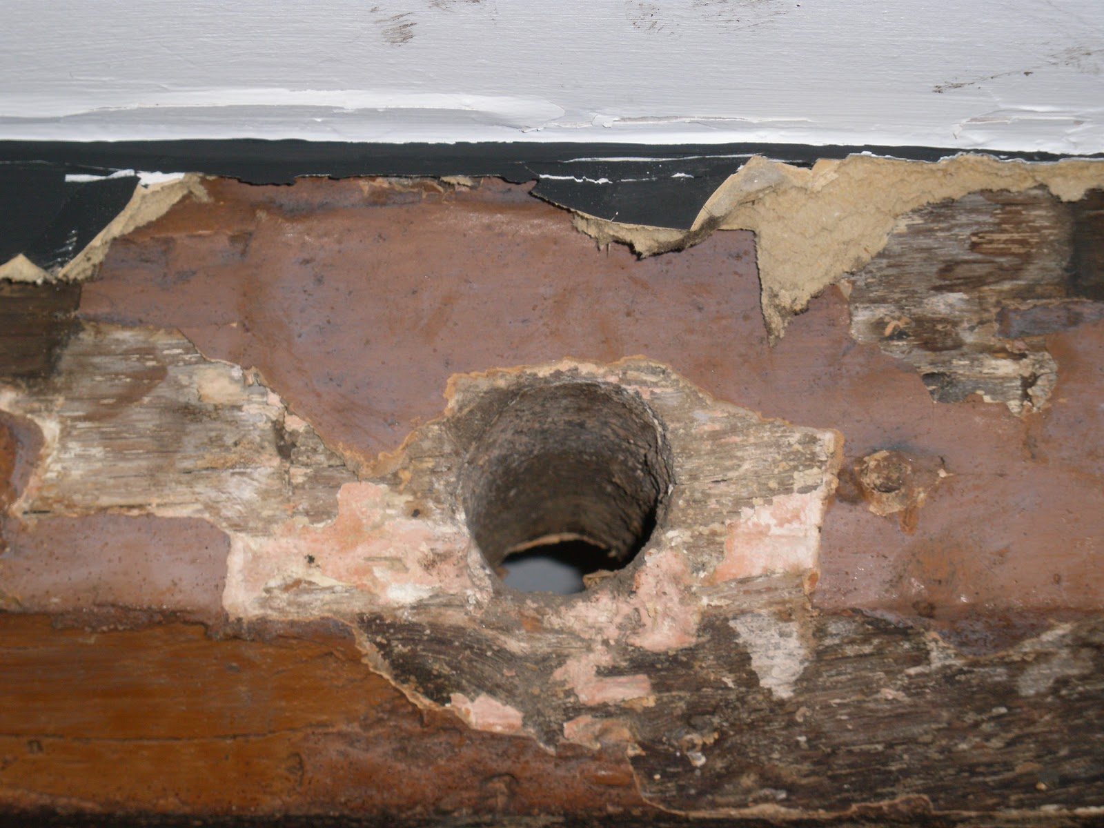
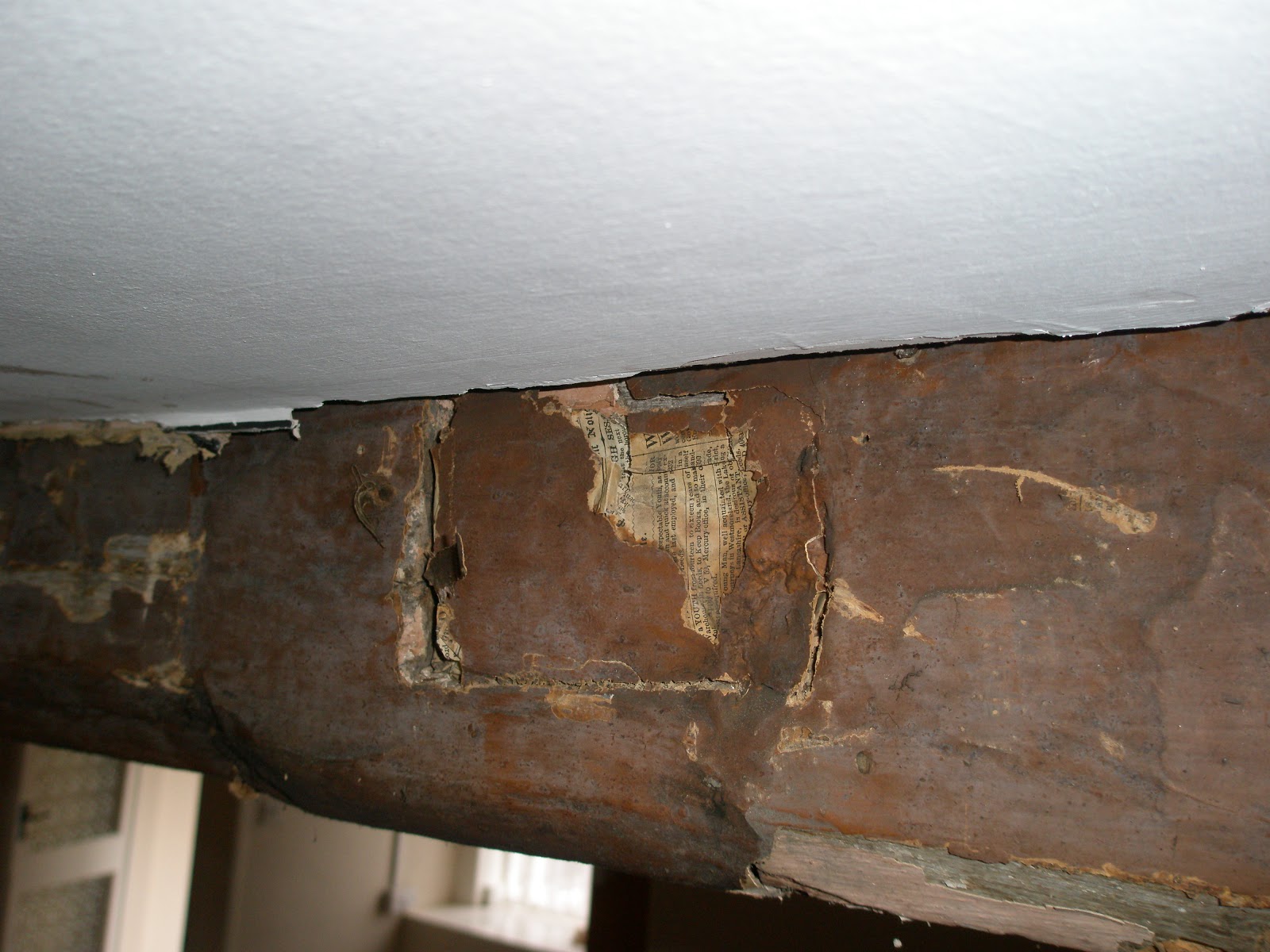
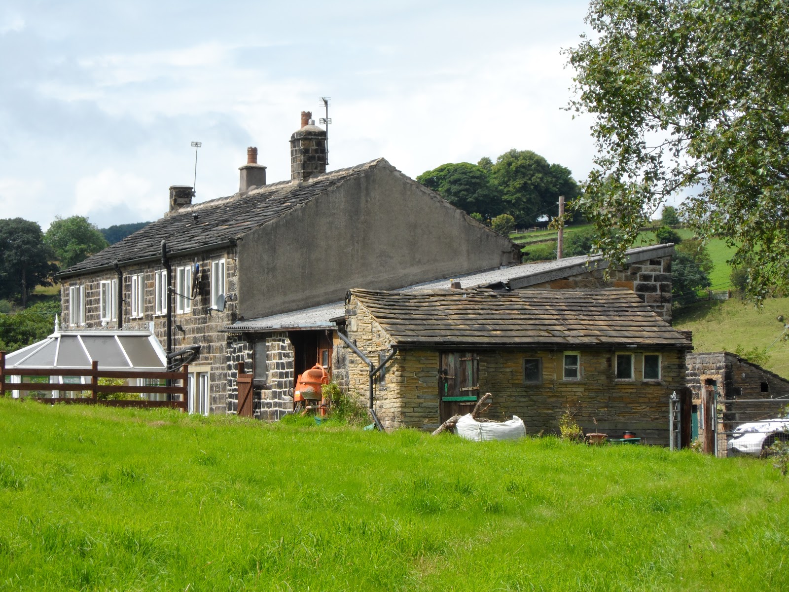
There is no 8 Hagg Lane listed on the 1901 census although, 8, 9, and 10 Hagg Lane are clearly shown on many of the old maps (including the 1977 OS version).  Strangely enough, there are only two properties present today number 8 and number 10, but not number 9 and number 10.  This illustrates part of the problem with using the old censuses, particularly in rural areas  – the numbering of properties is a fairly recent occurrence (since Victorian times) and it can be difficult to work out which properties are which.  For example, there are no numbers on the censuses for this property before 1891.  You have to use some intelligence and work out which way down the road the administrator was travelling as he filled in his census forms. In the 1891 census, the properties are identified as “Cliffe, Hagg Lane”.  I am assuming that the “Cliffe” refers to the bit of crag in the bottom field that can be seen from the road.  The 1851 census lists the property as “Middle Hagg”, presumably on the basis that it is between Upper Hagg and Lower Hagg.

Anyway, back to Joseph Hobson who lives in 9 Hagg Lane in 1901.  He is recorded as living in the property in 1861 as a “scholar” 16 years old with the rest of his family.  His parents are David and Mary Hobson (both born in 1809).  His father’s occupation is listed as “Farmer of 6 acres”.  His father is born in Honley and his mother in Farnley Tyas.

So the next thing I wondered about was whether I could find out where they are buried.  I had a quick look at the map and worked out where the nearest churches and grave yards where.  One in Netherthong (I know this church dates from around 1820) and another in Brockholes (dating from around the same time).  I had a quick look in both churchyards, before searching online.

A quick search online showed that there is a graveyard in Honley.  Furthermore, the burial entries have been digitised and are online.  Surely I won’t find the Hobson’s?  Bingo.  Section 30, plot 2269.

You can find the website site here: http://www.honley.ukf.net/ Although, it hasn’t been updated since 2003, it had all the information I was looking for.

Well, you know what I am going to do next – yep, look for the gravestone.

The farm today

Here’s some photographs of the property as it is today.  It is organised as a small attached cottage, a larger cottage and an unconverted barn.  All on a 2 acre plot of land.

From the road.  The odd shaped building to the right of the picture is a coal hole.  This odd shaped part of the building seems to be fairly original as it appears on even the oldest of the maps that we have found. Take a close look at the 1788 map, particularly where the property adjoins the road. The porch is for the small attached cottage.

From the back of the property.  This is the view from the back of the top field.  The unconverted barn is at this end of the property.  It has clearly been rebuilt in recent years, but is still unconverted.  The lower photograph is the rear of the property, but this time from the bottom field looking up.  The odd shaped appendage is the back of the coal hole seen above.

The unconverted barn.  This has a sloping roof and has two floor levels inside.  The lower floor level is the same level as the ground floor in the adjacent property.

How old is the property?

One of the questions that has been bugging me ever since we first saw the property has been it’s age.  Exactly how old is it?

This seems like a hard question to answer – at least, answer accurately.  I am guessing that it was built in the 1800s and I am assuming that some of the interal features might help dated it.  However, often a visit to the Local History unit in the local Library will provide a number of the answers.

Well, I have looked into this will previous properties that I have owned so have an idea about the process.  With this in mind, I visited the Local History unit in Huddersfield central Library.  I was not quite sure how much information I would be able to find – it is very variable depending on the age and area.  However, I was very pleasantly surprised to be able to spot the property on an old map.  First of all, it was definitely there in 1894.  I then looked on the 1854 map and it was there too.  Then onto the oldest map in the library.  And bingo.  It was there too.  In 1788! 

The amazing thing is that the outline of the house really hasn’t changed that much in the past 250 years (it is the “T” shaped building above the letter “A” in “Lower Hagg”.  Just compare the scan from the 1788 map with the image from Google earth on my other posting.  Almost identical.

With the help of the librarians at the library, I looked through the boxes of photos of the area and managed to find an RAF aerial photograph from 1948 that also includes the property. [Incidentally, many of these aerial photographs are available online, however, not the one that I was looking for.  English Heritage maintain and archive of these images online and you can find it here: http://www.britainfromabove.org.uk/.]

A quick through the census for 1901 established that the property (10 Hagg Lane as it was referred to then) was occupied by Smith and Mary Littlewood and their three children (Ernest, Wilfred, and Denis) and a step daughter Evelyn Eastwood.  Their occupations were listed as Woollen Weaver.  The property next door (9 Hagg Lane) is occupied by a 50 year old farm labourer, named Joseph Hobson. The census data can now be accessed online, although I used  the microfiche in the library for this purpose.

All of this I established within a hour, pretty amazing really.

Now to be able to date house any further, I will need to visit the Registry of Deeds in Wakefield.  The Registry of Deeds was established by an Act of Parliament in 1704 to allow land holders to register publicly deeds relating to property.  But this will have to wait for another weekend!

© 2024 Hagg Leys Farm

Theme by Anders NorenUp ↑